A three-storey medical centre on Docker Street hit a snag last winter. The geotech report flagged variable clay and a shallow water table, but the architect needed site-specific ground motion to satisfy the structural engineer. That is where we came in. Wagga Wagga sits on the eastern margin of the Riverina, with Paleozoic bedrock buried under thick alluvium from the Murrumbidgee. The impedance contrast between soft sediments and basement can amplify shaking, even from distant seismic sources. Our crew ran a dense array of MASW and downhole seismic lines to map Vs30 across the footprint. The output was a ground classification under AS/NZS 1170.4 that fed directly into the structural model. For sites near the floodplain, we often pair this with a liquefaction assessment because the sandy lenses in the Wagga Wagga Formation can be susceptible under a 1-in-500-year event.
Amplification factors in Wagga Wagga's alluvial valleys can exceed 2.0 at periods below 0.5 seconds, which matters for low-rise masonry construction.
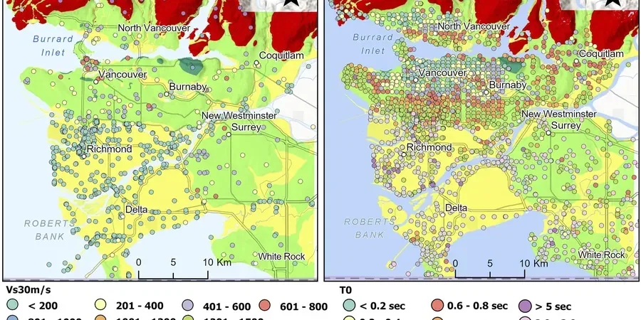
Technical details of the service in Wagga Wagga
Critical ground factors in Wagga Wagga
Wagga Wagga recorded a magnitude 5.4 earthquake in 1886 near Berembed Station, and more recent events in the Snowy Mountains remind us the crust is not dead quiet. The city's population has passed 70,000, with new subdivisions pushing into areas of deeper sediment fill. A uniform site class assumption across a large development can mask pockets of softer ground that will shake harder. We have seen two adjacent blocks return Vs30 values differing by 40%, purely because of a buried paleochannel. Skipping microzonation means the structural design may use the wrong spectral shape, leading to under-designed lateral systems or, on the flip side, costly over-engineering. The Australian Earthquake Loading Standard explicitly requires site-specific studies for Class C and D soils when the building importance level is 3 or above.
Our services
Each microzonation job in Wagga Wagga is different. A retirement village on the northern slopes needs a different approach than a warehouse on the Bomen industrial estate. We adapt the geophysical spread and analysis workflow to match the geology and the structural demand.
Single-site Vs30 determination
One spread, one profile. We deploy a 46-metre geophone line with active and passive recording, process the dispersion curve, and deliver a Vs30 value and site class within three working days. Ideal for individual commercial lots.
Neighbourhood-scale microzonation mapping
For subdivisions or campus-style developments, we run a grid of MASW lines on a 50 to 100-metre spacing. The result is a contour map of Vs30 and fundamental period, with a concise report suitable for civil design tender packages.
Borehole-integrated seismic profiling
Where existing boreholes exist, we run downhole seismic or crosshole tests to calibrate the surface geophysics. This tightens the velocity model and reduces uncertainty in the site class boundary, especially useful where the sediment-rock interface is gradational.
Top questions
What is the typical cost range for a seismic microzonation study in Wagga Wagga?
Depending on the number of measurement points and the required depth, studies generally fall between AU$7,320 for a single-site Vs30 determination and AU$25,350 for a full neighbourhood-scale grid with borehole calibration. We provide a fixed-price proposal after reviewing the site plan and any existing geotechnical data.
How long does a microzonation survey take on site?
A single spread takes about two hours of field time, plus processing. A grid across a 5-hectare site typically requires one to two days on the ground. We schedule around weather: wet clay after a Murrumbidgee storm attenuates high frequencies, so we monitor the radar closely.
Do you need boreholes to run the seismic lines?
Not strictly. MASW can work with no borehole control. But if a borehole log is available, we can constrain the inversion and reduce the non-uniqueness, which sharpens the Vs30 estimate. For Class C/D boundary sites, we strongly recommend at least one calibration borehole.
Which Wagga Wagga soil types need a site-specific seismic study?
Any site underlain by more than 10 metres of alluvial clay or sand, especially north of the Murrumbidgee in the floodplain, can fall into Site Class C or D. AS/NZS 1170.4 triggers site-specific analysis for these classes when the building importance level is 3 or higher, which includes hospitals, schools, and emergency facilities.